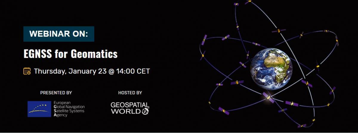
Many promising geomatics applications benefit from the European navigation programmes Galileo and EGNOS. Land, marine and mine surveying, infrastructure monitoring and mapping and GIS applications that require high precision GNSS are all enabled by both the EU satellite navigation systems. The European GNSS Agency (GSA), together with Geospatial Media, invites you to participate in a free webinar - EGNSS for Geomatics – where you can learn about everything that EGNSS has to offer for geomatics.

The webinar will cover everything EGNSS has to offer for geomatics.
GNSS is one of the key Geomatics technologies along with GIS, Earth Observation and Remote Sensing, to help with the geospatial data acquisition. Geomatics disciplines include the geo-data collection means and techniques used in land surveying (including cadastral, construction, mapping and GIS, mining or infrastructure monitoring), photogrammetry, remote sensing, marine surveying and other emerging tools such as drones or mobile mapping, for which high-precision GNSS is either paramount, or a key enabler. EGNOS and Galileo are the two EU satellite navigation systems that provide high-quality positioning, navigation and timing services to users across the whole world.
In the webinar EGNSS for Geomatics experts in navigation and geomatics will guide you through the Galileo and EGNOS programmes, the use, the benefits, the added value for the geomatics user community, and the applications already available as well as the innovation potential.
Save the date in your calendar: Thursday, 23 January at 14:00 CET.
Don´t miss out - REGISTER NOW!
Media note: This feature can be republished without charge provided the European GNSS Agency (GSA) is acknowledged as the source at the top or the bottom of the story. You must request permission before you use any of the photographs on the site. If you republish, we would be grateful if you could link the article back to the GSA website (http://www.gsa.europa.eu).