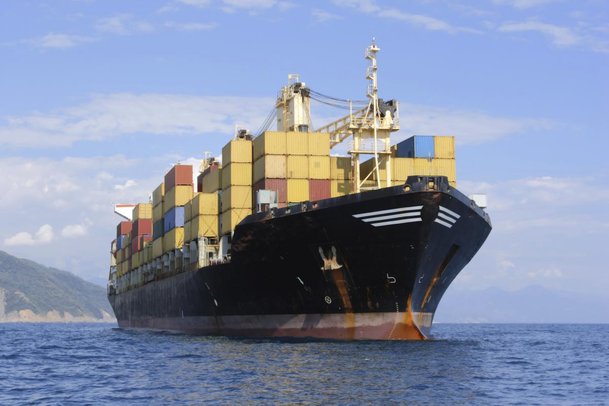
Shipping and farming might not appear to have much in common, but both sectors are exploiting satellite technologies, and are looking forward to the new opportunities offered by the European GNSS programmes EGNOS and Galileo. At the European Space Solutions (ESS) conference in London on December 4, experts in the fields outlined how satellites are making their work easier.

But Galileo will make satellite navigation and tracking easier than ever, Mr Flament said. “The satellite technologies and applications that are currently being used at sea were unthinkable a few years ago, yet Galileo will take this technological revolution even further,” he said. Mr Flament said there were currently 40,000 merchant ships and 4,000 passenger ships worldwide on the seas, of which Europe accounted for one quarter. "The fusion of data reported by ships and collected by satellites would provide a complete and up-to-date representation of the maritime environment, including, sand banks, ice, waves and winds,” he said. "Furthermore, the future Galileo Search and Rescue (SAR) service will be able to detect distress beacons at sea and alert the rescue services in real time.”
Colin Beatty, Managing Director and Founder of GNSS consultancy CBi Ltd, looked ahead to future shipping and predicted that in 20-30 years time, satellite technologies would enable vessels to be completely automated. “They can be controlled by people thousands of kilometres away, like drones. We do not need people on ships. I can guarantee we will have ships without crews,” he said. Beatty said artificial intelligence will make autonomous ships possible, potentially programming them to go underwater when necessary, for example, to dodge pirates.
Keeping an eye on farming
Satellites are already enabling precision farming, agricultural management based on observing and responding to intra-field variations, and the EGNOS signal enhancing system helps ensure the signals are accurate and reliable. Neil Hubbard, the Head of Unit for Monitoring Agricultural ResourceS at the Institute for Environment and Sustainability in the European Commission’s Joint Research Centre (JRC), said satellites help identify crops on site, define the size of the farm, and determine yields. “To manage crops, you need to look ahead, and satellites help us predict better,” he said.
Satellites are also helping farmers harvest: more than 60% of GNSS equipped tractors in Europe are EGNOS, helping the vehicle follow a predetermined path, thus minimizing risks of overlap and gaps.
Hubbard said all 27 EU member states use GNSS not only for precision farming but also for field measurements, with guidelines developed by JRC. He urged a close link between policing and science, understanding needs, anticipating trends, providing better cost/efficiency analysis, and disseminating the best practices. “The past 25 years have seen spatial data and remote sensing become integral to agriculture management,” he said.
It´s not only on navigation satellites like EGNOS and Galileo but also on Earth observation such as the Copernicus programme. Maurits Voogt, Chief Competence Center for Netherlands-based water and vegetation research company eLEAF, said satellites were helping reveal soil moisture and other indicators to show how much water is used. Knowing other indicators like temperature and water drainage, it is possible to calculate exactly how much water is needed for each crop in each field, he said.
Edward Miller from farm machinery maker Claas said satellite networks were giving farmers accuracy to plough and harvest their fields to a few centimetres precision. “Precision farming is a smart solution for the environment and for people. It means higher revenues, conservation of resources product, lower costs, reduced use of fertilisers, lower fuel use and fewer carbon emissions,” he said. When it comes to fertilisers, Miller said it would mean using 7% less product, saving farmers €3,000 for every 1,000 hectares, and saving 6.5 million tonnes of carbon dioxide emissions, the equivalent of 22,385 flights from Berlin to Rome.
Media note: This feature can be republished without charge provided the European GNSS Agency (GSA) is acknowledged as the source at the top or the bottom of the story. You must request permission before you use any of the photographs on the site. If you do republish, we would be grateful if you could link back to the GSA website.