BELS+ aims to develop GNSS markets for EU companies and help EU GNSS applications gain a foothold in South East Asia. Towards these goals, the project is organizing a GNSS Data Processing training programme in Barcelona on July 11-13, in addition to a workshop on July 12 to raise awareness about business opportunities in South East Asia among European companies, professionals and institutions offering GNSS-based products and services.
BELS - Building European Links toward Southeast Asia - was set-up in 2015. Its second edition, named BELS+, was selected by the EU’s Horizon 2020 programme in 2018 to facilitate the breakthrough of EGNSS technology in the South East Asian (SEA) market.
Two BELS+ events will take place in July 2018 in Barcelona, Spain:
-
A workshop on “Opportunities for European GNSS companies in South East Asia”
-
Professional training on “GNSS Data Processing: Theory and Practical Exercises”
Both events are held in combination with each other but can be booked independently.
Workshop
The July 12 event “Opportunities for European GNSS companies in South East Asia”, which will take place at the Universitat Politècnica de Catalunya in Barcelona, Spain will include a presentation of the BELS+ project and the NAVIS EGNSS Demonstration Centre in Hanoi, where European companies showcase their GNSS-based solutions. European companies will present their experience of working in the SEA region.
This event is an ideal opportunity for European producers of GNSS-based technologies and solutions to present their products and services as well as their motivation in trying to get a foothold in the South East Asian market. For more information on the Barcelona workshop, click here. To register to attend the workshop, go straight to the registration page.
Read this: BELS Builds Bridges to South East Asia
Professional training
The professional training programme GNSS Data Processing: Theory and Practical Exercises will run from July 11 to 13, also at the Universitat Politècnica de Catalunya, Spain.
Supported by the European Commission and the European GNSS Agency (GSA), this training programme is aimed at professionals working in EGNSS and related fields of science and engineering from Europe and the SEA region. The course will cover the concepts and techniques used in GNSS positioning and will present the theoretical foundations for Standard and Precise Point Positioning (SPP, PPP), among other topics.
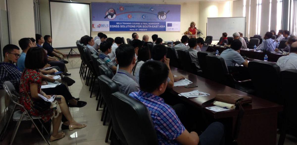
Participants in a recent BELS+ training session in Hanoi
The course aims to cover all the elements needed to understand how the GNSS system works and how to work with it. Processing algorithms will be discussed in detail and implemented through guided exercises in laboratory sessions. For more information on the course, click here, and to register, go directly to the registration page. The training will be conducted in English and is free of charge.
There are a limited number of places available, so you should register as soon as possible!
About BELS+
The Horizon 2020-funded BELS+ project, like its predecessor BELS, conducts a range of coordinated activities to raise awareness and build capacities for the exploitation of EGNSS technologies in South East Asia. The BELS+ consortium brings together partners from Europe and South East Asia.
Founded in 2010 the NAVIS Centre serves as entry point for EU companies. Within BELS+ a GNSS Demo Centre will be established at the NAVIS. It builds upon the broad engagement of companies, researchers and stakeholders and aims at attracting EU companies.
The Centre will serve as a platform to demonstrate European GNSS expertise from hardware to software as well as service and maintenance. BELS+ supports European companies participating in the Demo Centre. In addition, the Centre offers potential customers and GNSS stakeholders in the SEA region the opportunity to see and experience European GNSS solutions within their geographical environment.
One of the project’s core aims is to promote Galileo and demonstrate how it can benefit the region. This work is particularly important as the SEA region lacks its own satellite navigation capabilities and is therefore dependent on other national or regional systems.
For more information, visit the project’s portal.
Media note: This feature can be republished without charge provided the European GNSS Agency (GSA) is acknowledged as the source at the top or the bottom of the story. You must request permission before you use any of the photographs on the site. If you republish, we would be grateful if you could link back to the GSA website (http://www.gsa.europa.eu).