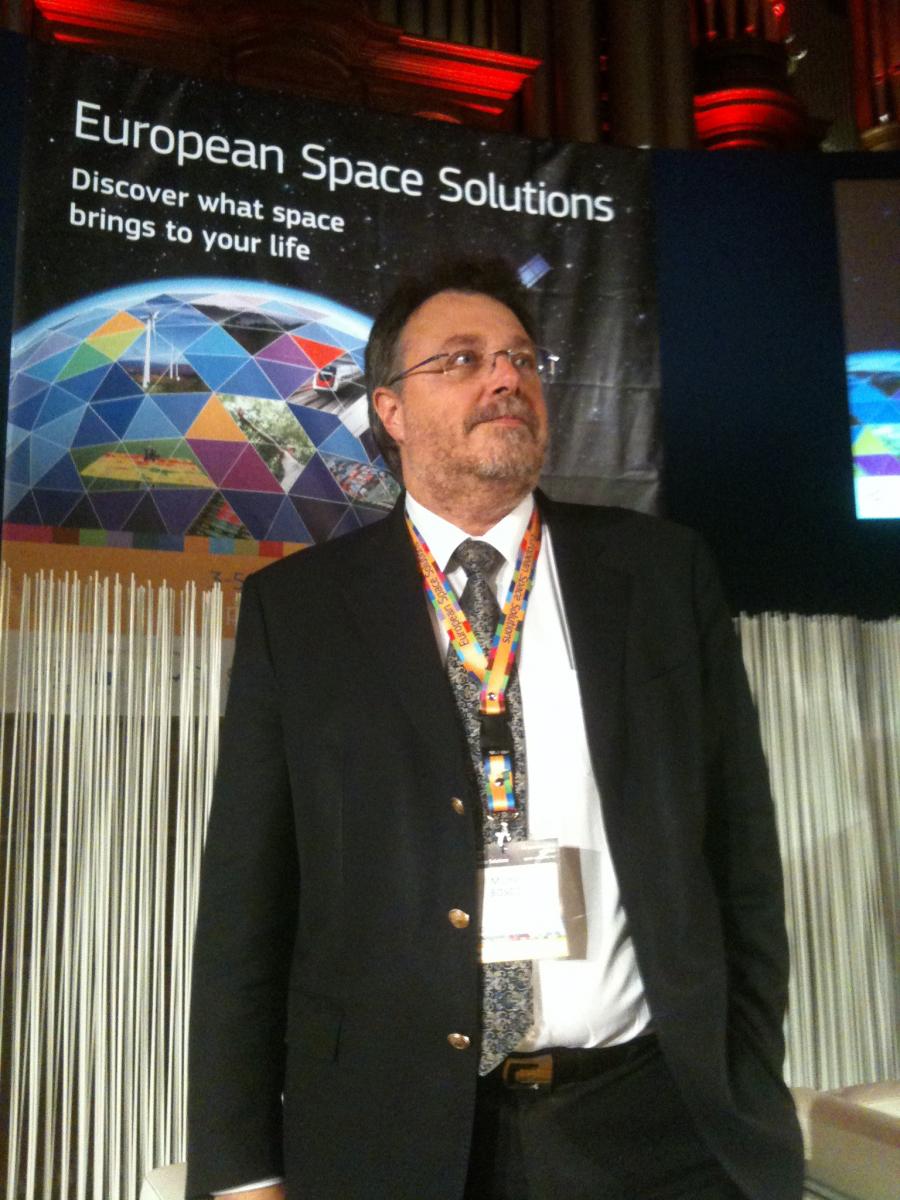
New satellite services will make driving easier and make rail travel more efficient, according to officials and business leaders at the European Space Solutions conference in London on December 5.
Satellite-driven technology will make travel faster, smoother and safer in the coming years, and Europe’s Galileo programme is speeding the changes, experts agreed at the European Space Solutions conference on December 5. On the third and final day of the event, the sessions in road and traffic management, and in rail revealed a wealth of innovation waiting to exploit new prospects offered by satellite systems, especially Galileo.

Andy Sage, Director of technology consultancy Helios, outlined how GNSS had helped fuel the growth of Intelligent Transport Systems (ITS) with a wide selection of applications including roadside assistance, vehicle maintenance management, broadband and infotainment, and traffic management. He argued that eCall – which will be on all new models from 2015 – was not just a regulatory drive, but it is opening the way to embedded onboard technologies. “It has the potential to revolutionise ITS sector,” he said. “If this capability is built ‘as standard’ in most vehicles then the business case for applications such as road pricing and eCall are substantially enhanced.” Sage said the GNSS industry could help the automotive industry to keep pace with innovation. He commented that the long lifetime of vehicles demands a long-term perspective and preparation for new GNSS services – including multi-constellation capacity. “Our smartphones have already moved to multi-GNSS capability, and I expect my car to do so too,” he said.
Gisela Toussaint, Managing Director of design house VRANY Enterprises, explained another road application: a system to display free parking spaces with accurate positioning. She noted there were already parking space availability systems using RFID, solar cells, and sensors, but they are easily compromised by ice, snow, dirt, leaves or even a badly parked car covering them. Her system sends a signal to the car’s on-board unit with real-time information, saving drivers time and emissions in searching for a place.
Tracking rail
In rail sector, GNSS has the potential to be used for the next generation of the European Rail Traffic Management System (ERTMS). ERTMS is an EU initiative to boost cross-border interoperability, enabling railways to be operated more efficiently, increase capacity and deliver a reliable, punctual train services. Fiammetta Diani, Market Development Officer at the European GNSS Agency (GSA), said GNSS has also potential applications in fleet management and low density line signalling, which could offer significant cost savings. Diani said the GNSS could enhance odometry increasing their reliability in future trains, as currently under study in the FP7 EC funded project GRAIL-2.

Elevator Pitches
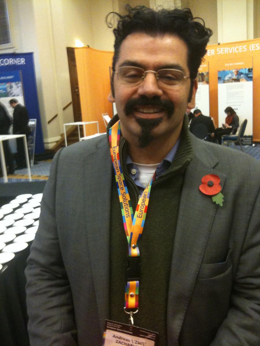
The ESS also held a series of elevator pitch sessions where entrepreneurs could present their space and satellite business concepts to a panel of business and technical experts. CarbonDiem, a smartphone application that gives real-time emissions data, was particularly praised. Created by London art graduate , it helps people to track their own carbon footprint.
The CarbonDiem app detects the user's mode of transport – train, road, plane, underground or foot – and calculates his or her carbon footprint, allowing easy emissions monitoring. This then allows the device to work out the method of transport the user is on, and from that calculate the amount of carbon dioxide going into the air as a result. "The idea is that, with around two billion mobile phones around the globe, it's quite simple that you're very likely not to be without one," Zachariah said. Companies and event organisers can use it to measure employees' and attendees' emissions, and it has already generated an impressive client list that includes O2, BT and the BBC.
More Information:
Media note: This feature can be republished without charge provided the European GNSS Agency (GSA) is acknowledged as the source at the top or the bottom of the story. You must request permission before you use any of the photographs on the site. If you do republish, we would be grateful if you could link back to the GSA website.